SF Bike and Walking Guide
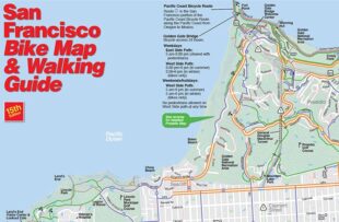
The SF Bike Map & Walking Guide shows you everything you need to know to find your way around San Francisco on bike. This map indicates the grade of streets so you can avoid the steepest hills. Plus, the Bike Map shows you where the bike shops are and what type of bikeway is on each street. Purchase a map for $4, or get one for free by becoming a member.

Google Maps
Google Maps has come a long way in providing accurate biking directions. Just plug in your start and finish destinations and get rolling. Double-check the suggestion against the SF Bike and Walking Guide.